


COMPLETE HA GIANG TRAVEL RESOURCE

Everything You Need to Know Before Riding the Ha Giang Loop

The Ha Giang Loop is a multi-day mountain journey through northern Vietnam, combining high passes, deep valleys, ethnic villages and small frontier towns. This guide brings the practical planning information together in one place, so you can choose a route, understand the conditions and prepare before leaving Ha Giang City.

Most first-time visitors choose three or four days. Two days gives a fast introduction, while longer itineraries allow more time for village stops, photography and roads beyond the classic loop. You can travel behind a local Easy Rider or self-drive if you have suitable experience and valid documents.

Use the contents below to move directly to the section you need, compare our Ha Giang Loop tours, or contact the SkyPath team when you want advice for your dates and riding experience.

HA GIANG LOOP QUICK FACTS

Plan the Journey at a Glance

  • Starting point: Ha Giang City, around 300 km north of Hanoi
  • Recommended duration: 3–4 days for most travellers
  • Classic route: Quan Ba, Yen Minh, Dong Van, Ma Pi Leng, Meo Vac and Du Gia
  • Riding options: Easy Rider or self-driving
  • Daily riding: commonly 4–6 hours including scenic stops
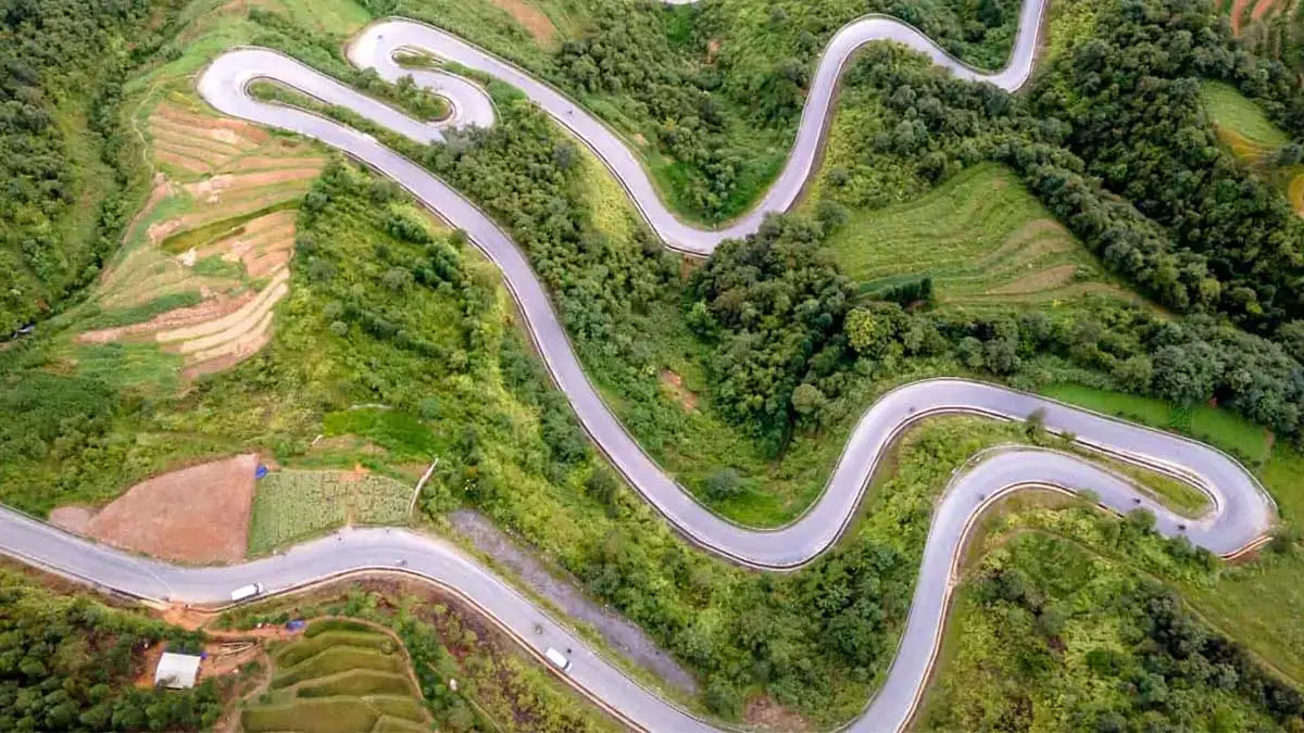
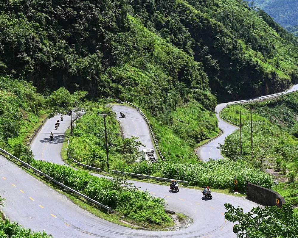
  • Road level: steep, winding and weather-dependent
VIEW ALL TOURS

Ha Giang Loop Tours with SkyPath local guides

01

INTRODUCTION

What Is the Ha Giang Loop?

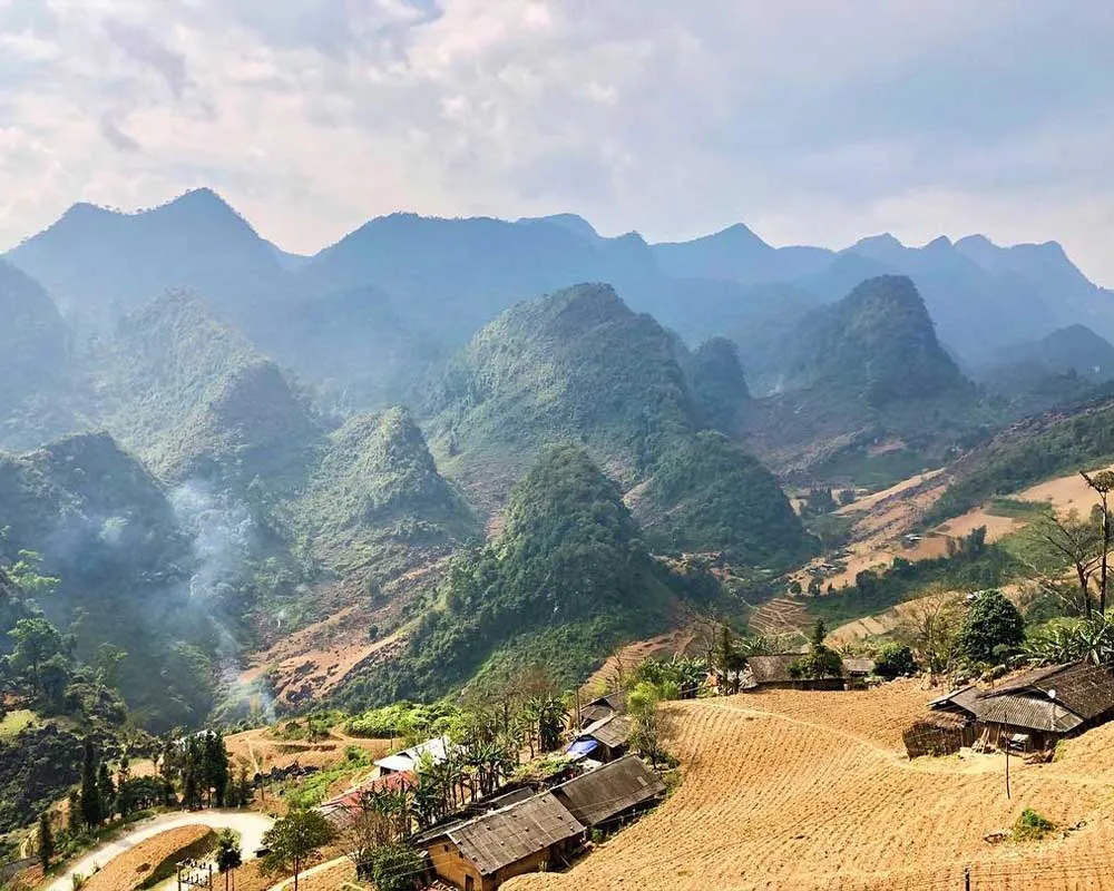
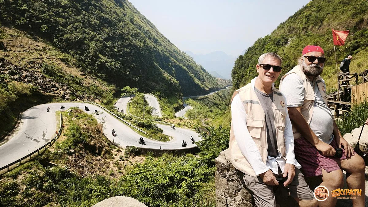
The Ha Giang Loop is a multi-day motorcycle route through Vietnam’s
northernmost mountains. The journey passes through dramatic limestone peaks,
deep valleys, ethnic villages and some of the most scenic roads in Southeast Asia.

Most travellers complete the route in three or four days. You can travel
with a local Easy Rider or ride your own motorbike if you have the experience
and correct licence.

EXPLORE HA GIANG TOURS

02

LOCATION

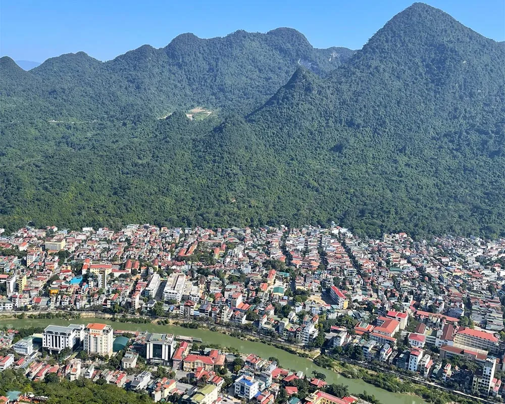
Where Is Ha Giang?

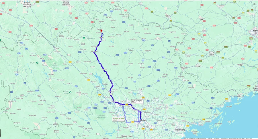
Ha Giang is Vietnam’s northernmost province, approximately 300 kilometres
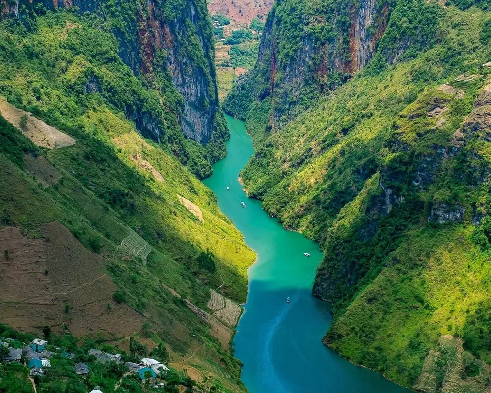
from Hanoi. It is home to the Dong Van Karst Plateau UNESCO Global Geopark, Ma Pi Leng Pass, the Nho Que River and many remote mountain communities.

Most tours start in Ha Giang City. Travellers normally arrive from Hanoi
by sleeper bus or limousine bus.

Map showing the location of Ha Giang in northern Vietnam

GETTING THERE

How to Get to Ha Giang

Most travellers reach Ha Giang City from Hanoi before beginning the loop.

SkyPath Ha Giang

03

WHEN TO VISIT

Best Time to Visit the Ha Giang Loop

Ha Giang can be visited throughout the year, but each season offers
a different experience.

  • March to May: Comfortable weather and green scenery.
  • June to August: Warmer temperatures with more rainfall.
  • September to November: Clear views and rice terraces.
  • December to February: Colder weather and mountain mist.
READ THE COMPLETE SEASONAL GUIDE
Illustrated Ha Giang Loop route map through Quan Ba, Yen Minh, Dong Van and Meo Vac

Illustrated Ha Giang Loop route map with the main mountain stops.

ROUTE OVERVIEW

Where Does the Ha Giang Loop Go?

The classic loop starts and finishes in Ha Giang City. It travels north through Quan Ba and Yen Minh, continues across the Dong Van Karst Plateau, then follows the spectacular road over Ma Pi Leng Pass toward Meo Vac. Three- and four-day itineraries usually return through Mau Due and Du Gia, creating a circular route rather than retracing the same road.

Exact distances vary with detours and road conditions, but travellers normally cover roughly 300–400 kilometres. A riding day may look short on a map; mountain bends, photo stops, village visits and weather make the journey slower than an equivalent distance on a highway.

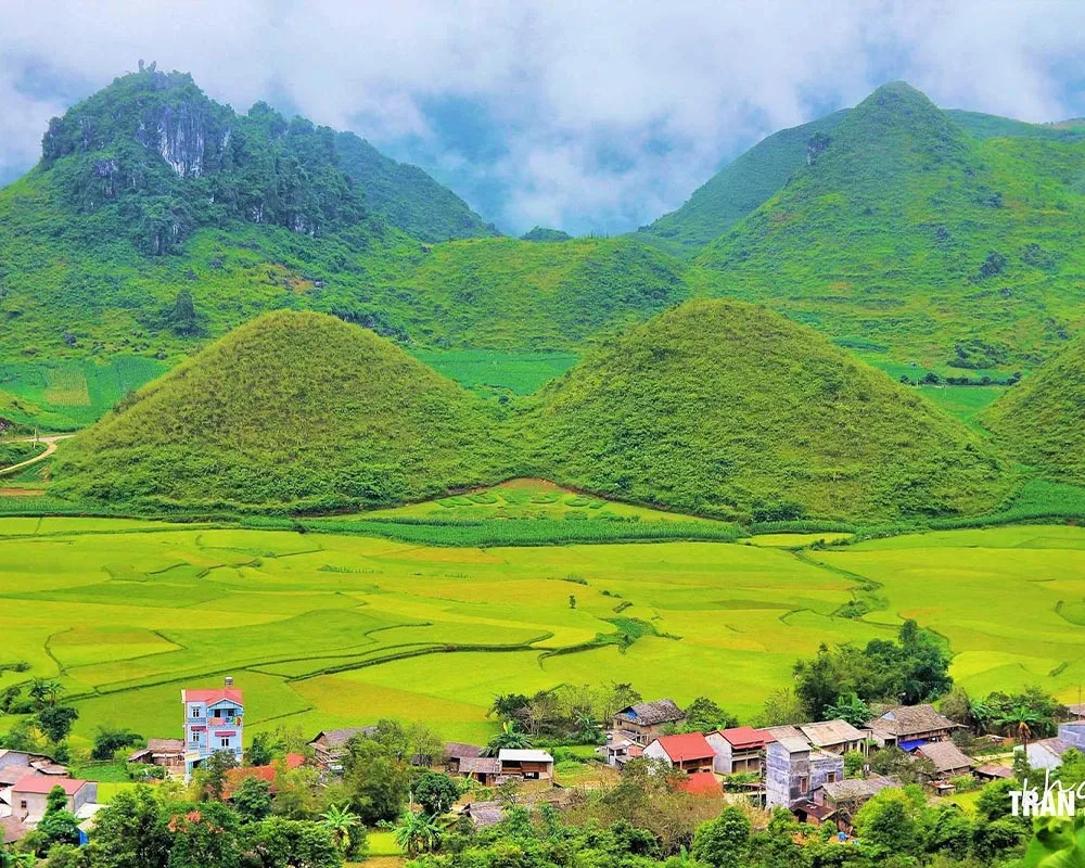
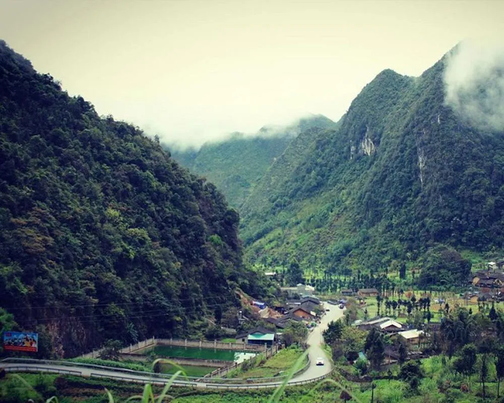
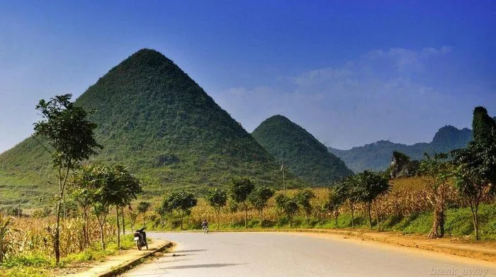
  • Quan Ba: Heaven Gate, Twin Mountains and the first wide views of the plateau
  • Yen Minh: pine-covered hills and a practical overnight stop
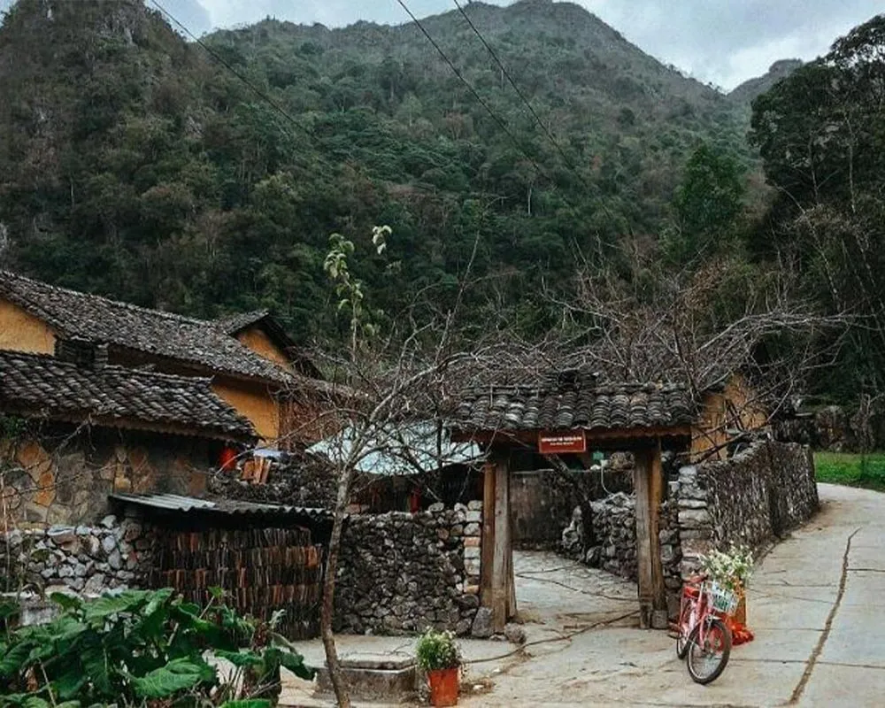
  • Dong Van: old quarter, limestone scenery and access to northern villages
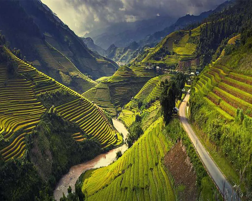
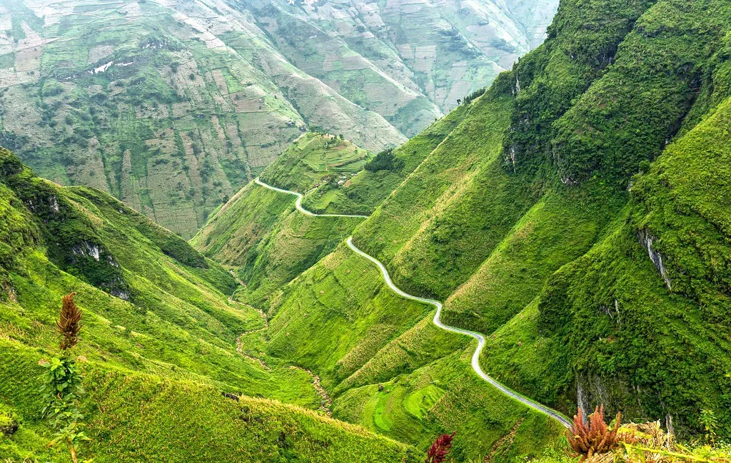
  • Ma Pi Leng and Meo Vac: the loop’s best-known pass and the Nho Que River valley
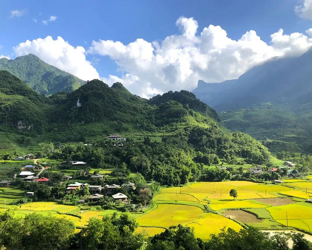
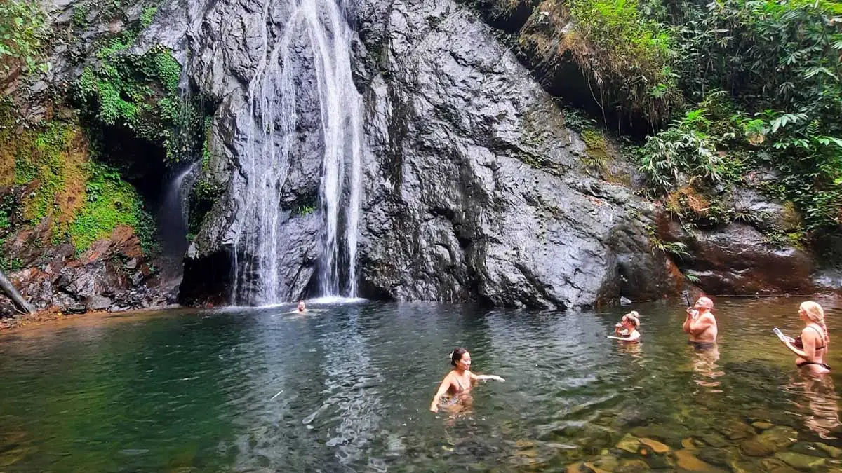
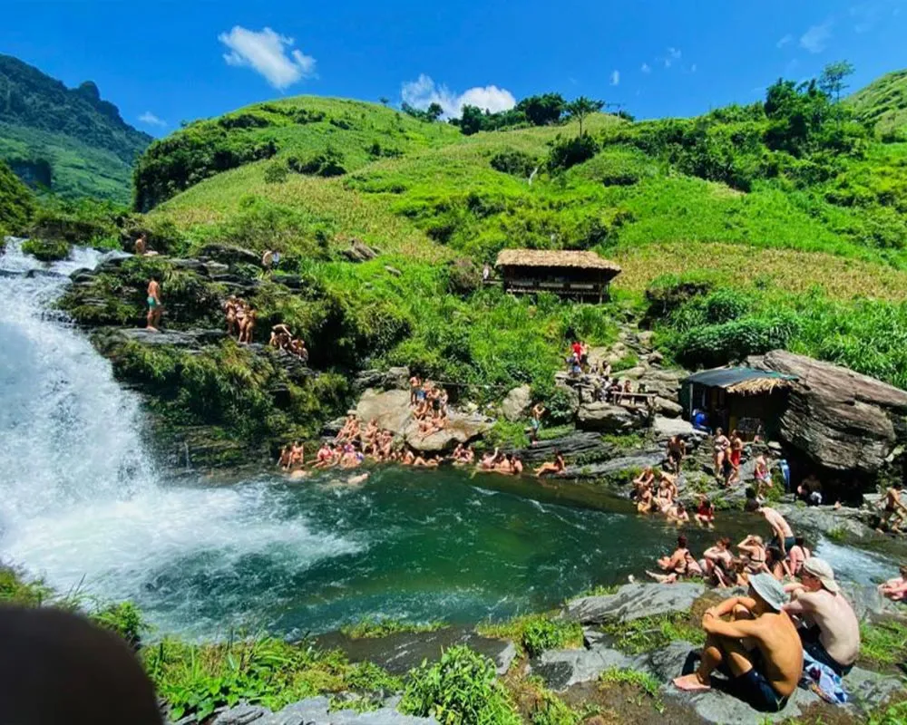
  • Du Gia: rice fields, waterfalls and a quieter return route to Ha Giang

Routes can change after heavy rain, landslides or roadworks. Follow current local advice instead of treating an online map as a fixed schedule.
COMPARE TOUR ROUTES

TRAVEL BUDGET

How Much Does the Ha Giang Loop Cost?

Your total cost depends on the number of days, riding option, room type, transport to Ha Giang and personal spending. Compare the advertised price with the services included rather than choosing from the headline number alone.

2 DAYS • 1 NIGHT

Ha Giang Loop 2D1N

A short Easy Rider introduction to the main mountain highlights.

FROM

3,150,000 VND / person

VIEW TOUR

3 DAYS • 2 NIGHTS

Ha Giang Loop 3D2N

The most popular balance of riding time, viewpoints and overnight stays.

FROM

2,600,000 VND / person

VIEW TOUR

4 DAYS • 3 NIGHTS

Ha Giang Loop 4D3N

A more relaxed route with extra time for villages, scenery and Du Gia.

FROM

3,750,000 VND / person

VIEW TOUR

What an Organised Tour Normally Covers

SkyPath tour pages list the motorbike, fuel, helmet and protective equipment, local guide or Easy Rider service, accommodation, meals stated in the itinerary, entrance tickets and the Ha Giang border-area permit among the core inclusions. Always check the exact tour page because services differ by duration and riding option.

Extra Costs to Budget For

Allow separately for your bus or private transfer to Ha Giang, travel insurance, drinks, snacks, tips, personal shopping and any private-room upgrade not included in your booking. Self-drivers should also confirm licence and insurance requirements before paying.

Price note: the lowest “from” price may be based on two travellers sharing one self-drive motorbike. Select your exact riding option and group size on the booking form for the correct total.

05

RIDING OPTIONS

Easy Rider vs Self-Driving

Choose according to your real mountain-riding experience, legal documents and confidence in changing conditions. The Ha Giang Loop is not a suitable place to learn basic motorbike control.

Compare Easy Rider Self-Driving
Who controls the bike? An experienced local rider You ride your own assigned motorbike
Best for Beginners, photographers and relaxed travel Experienced riders with valid documents
Main advantage More attention for scenery and less riding stress More direct control of your riding pace
Main responsibility Follow the guide’s safety instructions Licence, insurance, bike control and traffic compliance
Weather pressure Your rider handles difficult road conditions You must manage rain, fog, gravel and steep bends
SkyPath Ha Giang logo

Easy Rider and self-driving
Riding photo will be added here.

Which Option Should You Choose?

Book an Easy Rider if you are new to motorbikes, do not hold documents accepted in Vietnam, or simply want to enjoy the landscape without concentrating on the road. Consider self-driving only when you already handle a motorbike confidently on steep, narrow and winding roads.

If you are uncertain, tell SkyPath your riding experience honestly before booking. Changing to an Easy Rider is safer than discovering on the first mountain pass that the route is beyond your current skill level.

PACKING GUIDE

What to Pack for the Ha Giang Loop

Warm Layers

Mountain temperatures can change quickly, especially in the morning.

Rain Protection

Bring a lightweight rain jacket and waterproof protection for electronics.

Closed Shoes

Comfortable closed shoes are best for riding and short walks.

Small Backpack

Leave your large luggage in Ha Giang City and carry only essentials.

WEATHER

Ha Giang Loop Weather

Weather can change quickly between valleys and high mountain passes.
Prepare for sunshine, rain, cold temperatures and mist during the same trip.

READ THE WEATHER GUIDE

SAFETY

Ha Giang Loop Safety Tips

  • Always wear a good-quality helmet.
  • Slow down before blind corners.
  • Avoid riding at night or during heavy rain.
  • Never ride faster than your experience allows.
  • Use maintained motorbikes and safety equipment.

CHOOSE YOUR ROUTE

Sample Ha Giang Loop Itinerary by Day

This four-day outline shows how the classic route fits together. Stops and timing may change with weather, road conditions and the pace of the group.

DAY 1

Ha Giang City to Yen Minh

Leave Ha Giang after the safety briefing and ride across Bac Sum Pass toward Quan Ba Heaven Gate. Continue through the Twin Mountains area, local villages and the mountain roads around Lung Tam and Nam Dam before reaching Yen Minh. This first day introduces the bends and elevation of the loop, so a calm pace is more important than covering distance quickly.

DAY 2

Yen Minh to Dong Van

Ride across Tham Ma and Chin Khoanh passes into the Dong Van Karst Plateau. Depending on the chosen tour, stops may include Lao Xa, Lo Lo Chai, Then Pa or the Lung Cu area before arriving in Dong Van. The day combines limestone scenery, village visits and short walks, followed by an evening in Dong Van Old Quarter.

DAY 3

Dong Van to Du Gia

Continue over Ma Pi Leng Pass, with time for viewpoints above the Nho Que River valley. The route then passes Meo Vac and Mau Due toward the quieter roads around Ngoc Long and Du Gia. Longer SkyPath itineraries may include a short walk, river experience or cave stop when conditions are suitable.

DAY 4

Du Gia to Ha Giang City

Visit Du Gia Waterfall when access and weather are safe, then return through Lung Ho Valley and Thuan Hoa Pass. Expect a final series of mountain views before arriving in Ha Giang City. Keep return transport flexible because roadworks or weather can affect the finishing time.

Which Tour Length Fits Your Trip?

Tour Pace and coverage Best for Important trade-off
2D1N Fast introduction to selected highlights Very limited schedules More riding and fewer long stops
3D2N Balanced classic loop experience Most first-time visitors Less time in remote areas than 4D3N
4D3N Slower route with Du Gia and more stops Photography, culture and relaxed travel Requires one additional day
5D4N Extended journey through Ha Giang and Cao Bang Travellers wanting a broader northern route Longer distances and a higher budget

SkyPath Ha Giang logo

Ha Giang Loop accommodation
Accommodation photo will be added here.

WHERE TO STAY

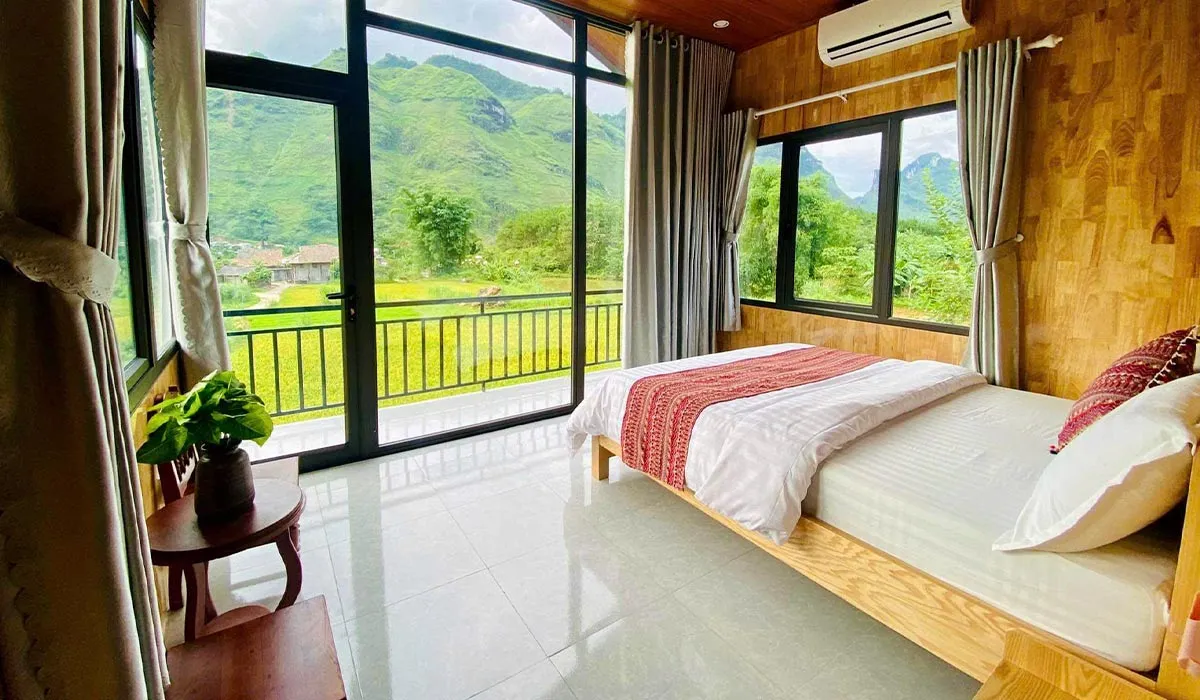
Accommodation on the Ha Giang Loop

Travellers normally stay in local homestays or small hotels in destinations
such as Yen Minh, Dong Van, Meo Vac and Du Gia.

  • Homestays: Affordable and social.
  • Private rooms: Better privacy for couples.
  • Local hotels: Available in larger towns.

RIDE LEGALLY AND SAFELY

Road Conditions, Driving Licence and Police Checks

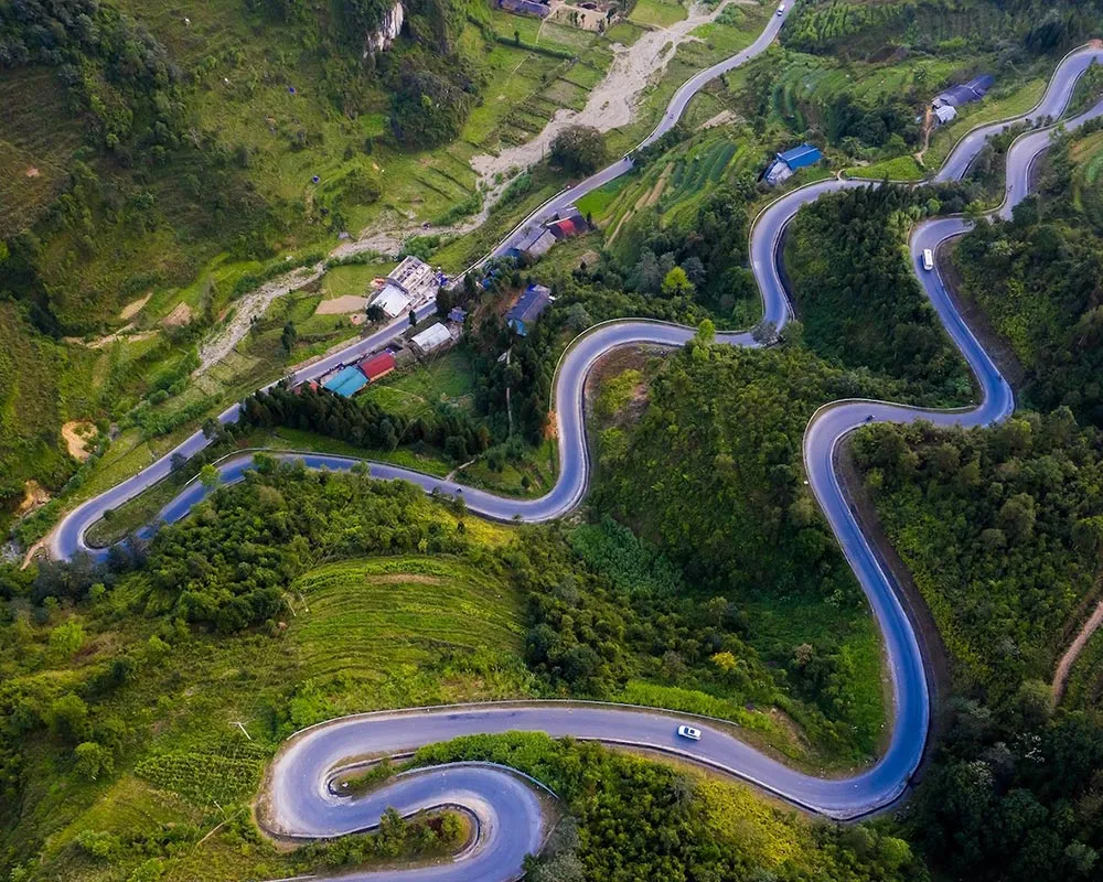
The Ha Giang Loop includes smooth highways, narrow mountain roads, steep passes and occasional construction zones. Conditions can change after heavy rain, so travellers should ride carefully and follow current local advice.

Road Conditions

Expect sharp bends, blind corners, gravel, fog and livestock on the road. Slow down before corners, keep a safe distance and avoid riding after dark. Routes may be adjusted when rain, landslides or roadworks make a section unsafe.

Licence and Insurance

Self-riders need a valid motorbike licence recognised in Vietnam and the correct international driving documents. Check that your travel insurance covers motorbike riding for the engine size you use. If your documents or experience are unsuitable, choose an Easy Rider.

Police Checkpoints

Police may check licences, vehicle papers and helmets along the route. Carry your passport copy and valid driving documents, obey traffic rules and never ride after drinking alcohol. SkyPath does not recommend avoiding checkpoints or riding without legal documents.

PRACTICAL TRAVEL TIPS

Food, Money, SIM Cards and Internet

Small preparations make travelling the Ha Giang Loop easier, especially in remote villages where services are more limited than in Hanoi or Ha Giang City.

Food and Drinking Water

Organised tours usually include Vietnamese breakfasts, lunches and family-style dinners at local homestays. Vegetarian meals and common dietary requirements can normally be arranged when requested before departure. Drink sealed or filtered water and carry a reusable bottle.

Cash, ATMs and Cards

Carry enough Vietnamese dong for drinks, snacks, local markets and personal expenses. ATMs are available in Ha Giang City and larger towns but may not always work. Small homestays and rural shops commonly accept cash only.

SIM Card and Internet

Mobile coverage is generally available in towns but can be weak or unavailable in mountain valleys. A Vietnamese SIM card is useful for weather updates and communication. Download offline maps before departure and bring a charged power bank.

LOCAL KNOWLEDGE

Local Guide Notes for a Safer, Better Journey

Conditions on the Ha Giang Loop can change from one valley to the next. These practical habits matter more than trying to follow a rigid online schedule.

Start Early and Stay Flexible

Morning departures create more time for viewpoints and reduce pressure to ride after dark. In heavy fog or rain, wait for visibility or accept a route change. The safest itinerary is the one adjusted to the conditions on that day.

Respect Villages and Local Culture

Ask before photographing people, homes or ceremonies. Dress respectfully when entering villages, keep voices low around family spaces and buy local products without turning daily life into a staged photo opportunity.

Leave the Mountains as You Found Them

Carry a reusable bottle, keep plastic waste with you until it can be disposed of properly and avoid leaving the marked road or trail. Choose local accommodation and services that return more value to the communities you visit.

A Note from the SkyPath Local Team

Do not judge a riding day only by distance. One hundred kilometres in Ha Giang can include steep climbs, blind bends, roadworks, livestock, photo stops and sudden weather. Build extra time into the plan, listen to the guide and never rush to reach a town before a fixed minute. If you self-drive, tell the team immediately when you feel tired or uncomfortable; changing pace is part of safe travel, not a failure.

SkyPath Ha Giang logo

SkyPath local guide team
Team photo will be added here.

CONTINUE PLANNING

Related Ha Giang Loop Guides

Explore detailed articles for each part of your journey.

COMMON QUESTIONS

Ha Giang Loop Guide FAQs

These quick answers cover the most common planning questions in our Ha Giang Loop Guide.

Three or four days is ideal for most travellers. A two-day itinerary
is possible but involves more riding and fewer stops.

The roads can be steep and challenging. Beginners are generally safer
travelling with an experienced Easy Rider.

Yes. An Easy Rider drives the motorbike while you travel as a passenger.

The three-day, two-night tour is the most popular option for first-time visitors.

Large luggage can normally be stored at your hotel or tour operator
in Ha Giang City.

A valid licence and suitable international driving documents are required if you plan to self-drive. Travellers without the correct documents should choose an Easy Rider.

Tours normally continue during light rain, but the route or departure time may change when road conditions are unsafe.

Yes. Tell the SkyPath team before departure so vegetarian or other dietary requirements can be arranged.

Bring enough Vietnamese dong for drinks, snacks, market purchases and personal expenses. The exact amount depends on what your tour includes, but relying only on cards is not recommended in remote areas.

Coverage is usually available in towns, while some valleys and mountain passes have weak or no signal. Download offline maps and important booking information before departure.

Yes, document checks may occur. Self-riders should carry valid driving documents and follow Vietnamese traffic laws. Travellers without suitable documents should book an Easy Rider.

Do not continue through heavy rain, dense fog, flooding or landslide areas. Follow local advice and allow your guide to adjust the route or departure time when necessary.

Need Help Planning?

Speak with the SkyPath local team and we will help you choose the right
itinerary and riding option.

WhatsApp:
+84 866 939 416

Email:
info@skypathhagiang.com

CONTACT SKYPATH